|

|
 |
 |
Detailed
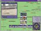
mapping – World 1:1 million.
World can be viewed at different levels of detail with
powerful zoom.
Use the powerful gazetteer to find any of over 150,000
places & geographical features.
15 minutes of video.
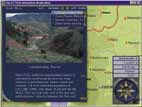
Over 1,200 photographs plus audio hotspots bring far-off
places to life.
Maps can be customised to suit your needs. Ideal for
reports and presentations.
Extensive databases of information, including country
facts and figures and the world flags.
Compare the statistics of two or more countries.
|
|
| REV002 |
|
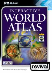
A comprehensive world
atlas for school and home use
Every household should
have this essential multimedia reference Atlas with its
detailed mapping of the world. All the countries of the
globe can be explored and are illustrated with
explanatory text, facts and figures, beautiful
photographs, recordings of languages and pronunciations
and top quality video.
|
| Reviews
& Awards |
“Nicely
designed and with a satisfying depth of content. A solid
and dependable addition to the reference section.”
Software & Games Directory
“A useful aid to school homework or projects.”
CD-ROM Today |
|